Product Overview
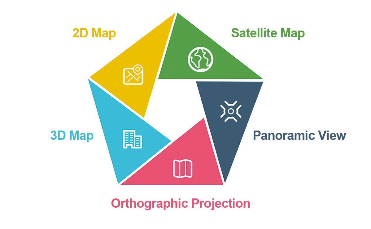
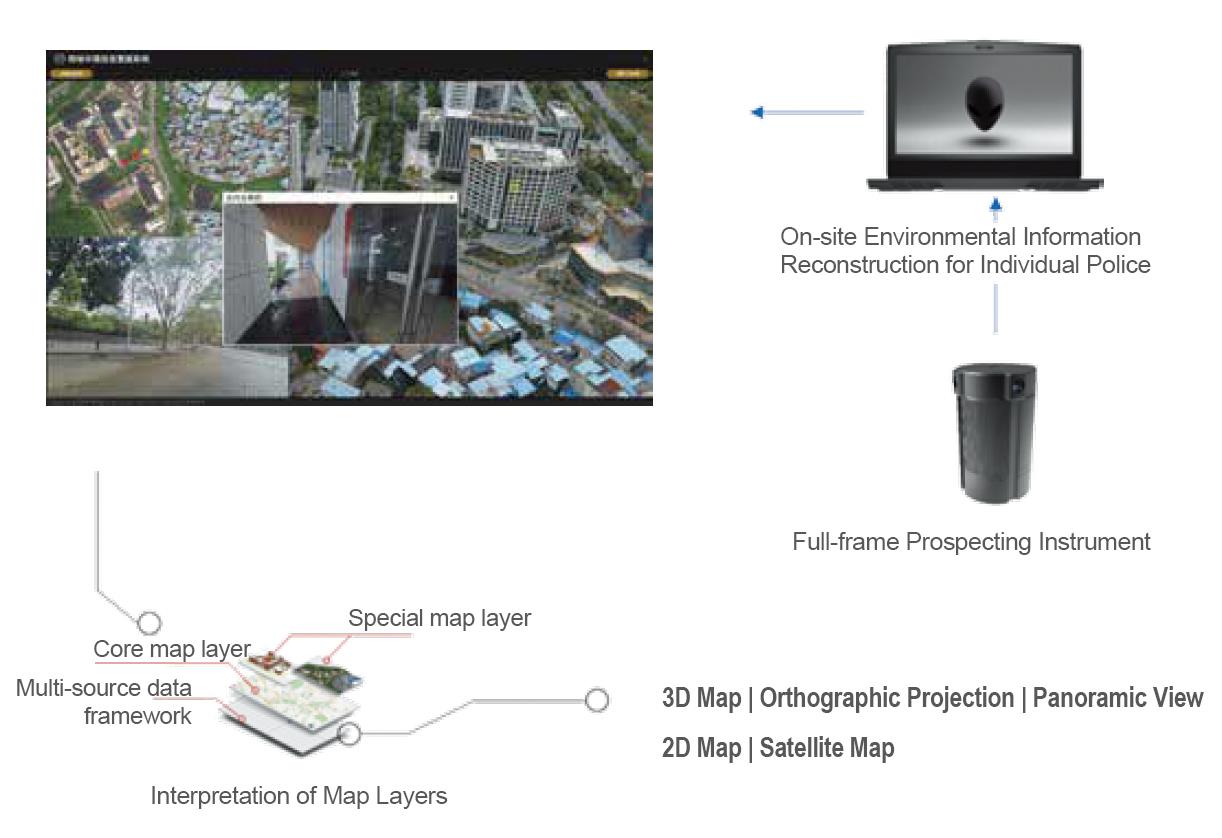
The product is composed of the full-frame prospecting instrument and on-site environmental information reconstruction equipment for individual police. With data from multi-source maps including the panoramic view, orthographic projection, 3D map and planimetric map, it features intelligent annotations of multi-dimensional information on the map, such as text, free-hand drawing, material evidence of trace, and clues, resulting in an all-dimensional reconstruction and visualized display of the crime scene.
Product Structure Diagram
Product Functions & Features
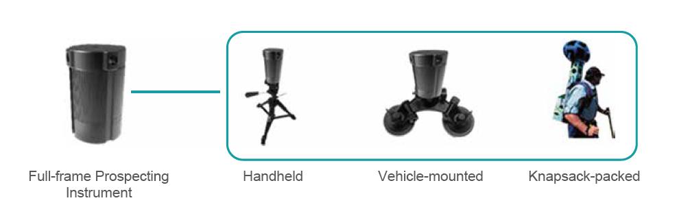
1.A variety of acquisition means
The portable full-frame prospecting instrument is capable of garnering on-site information including the panoramic image, GPS and audio/video, whether indoor or outdoor, with flexible shooting methods. It can be used in different types of environments and scenarios.
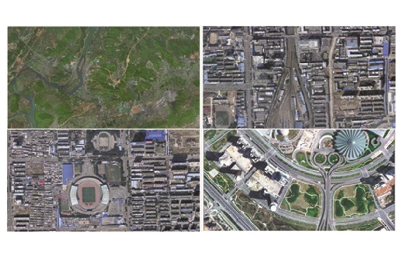
2.Real-time generation of on-site orthographic projection
The on-site orthographic projection that is visualized and easy to judge and read is available with the camera-equipped drone in a real-time manner.
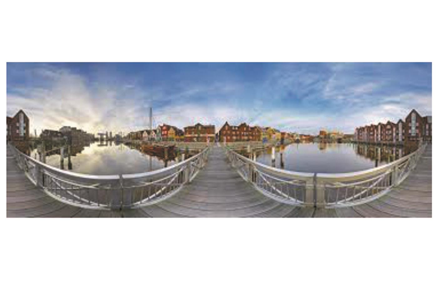
3.Reconstruction of the panoramic view of indoor and outdoor scene
After the full-frame prospecting instrument obtains on-site image information, the on-site environmental information reconstruction equipment for individual police can be used to finish the reconstruction of the panoramic view, both indoor and outdoor.
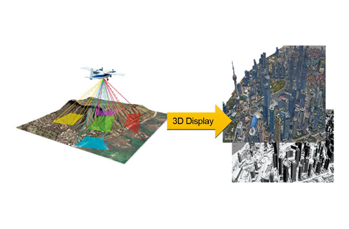
4.Fast display of the on-site 3D model
The high-precision data collection device where an oblique photograph is taken can obtain the on-site environmental information and create a 3D model of the on-site surface features, such as appearance, location and height.
5.Data backhaul
The transmission of multi-source map data, trace images and other collected information to the corresponding back-stage system helps to connect the front stage with the back stage and integrates the offline information with the online system, thus increasing the comparison efficiency and realizing real “quick transmission” and “quick comparison”.

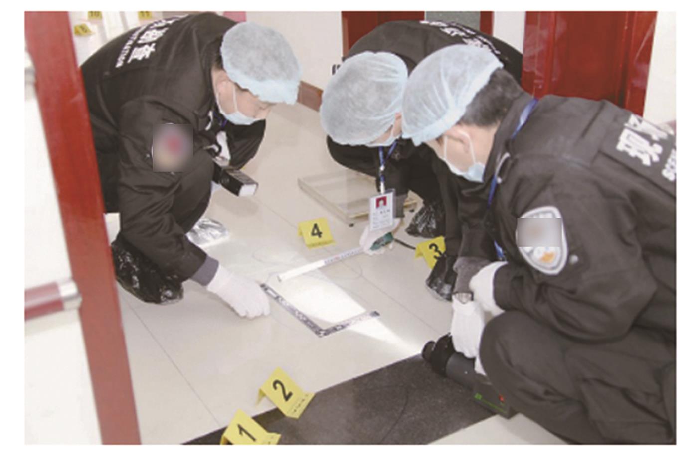
6.Traceability of material evidence
Through multi-source map data including the panoramic view and orthographic projection, the system supports reconstruction and joint research of the scene, followed with repeated investigations in return visits. In this way, the source of on-site material evidence unfolds like a scroll painting, with a view to meeting the requirement of the “trial-centered” criminal procedure reform.
7.Visualized presentation of multi-dimensional information
In the intelligent system, on-site hand drawing, panoramic view, orthographic projection (peripheral/central area of the site), 3D map, material evidence information acquired from on-site investigation, etc. are integrated into a whole, so as to realize a multi-angle and multi-dimensional analysis of the crime scene, reproduce the crime, and dig into information associated with the crime.